
Today we are revisiting a blog post from a series that explored the power of mapping and GIS in supporting Indigenous Nations to advance their rights and interests. Over the series, we explored everything from custom collector apps for land users...
Read More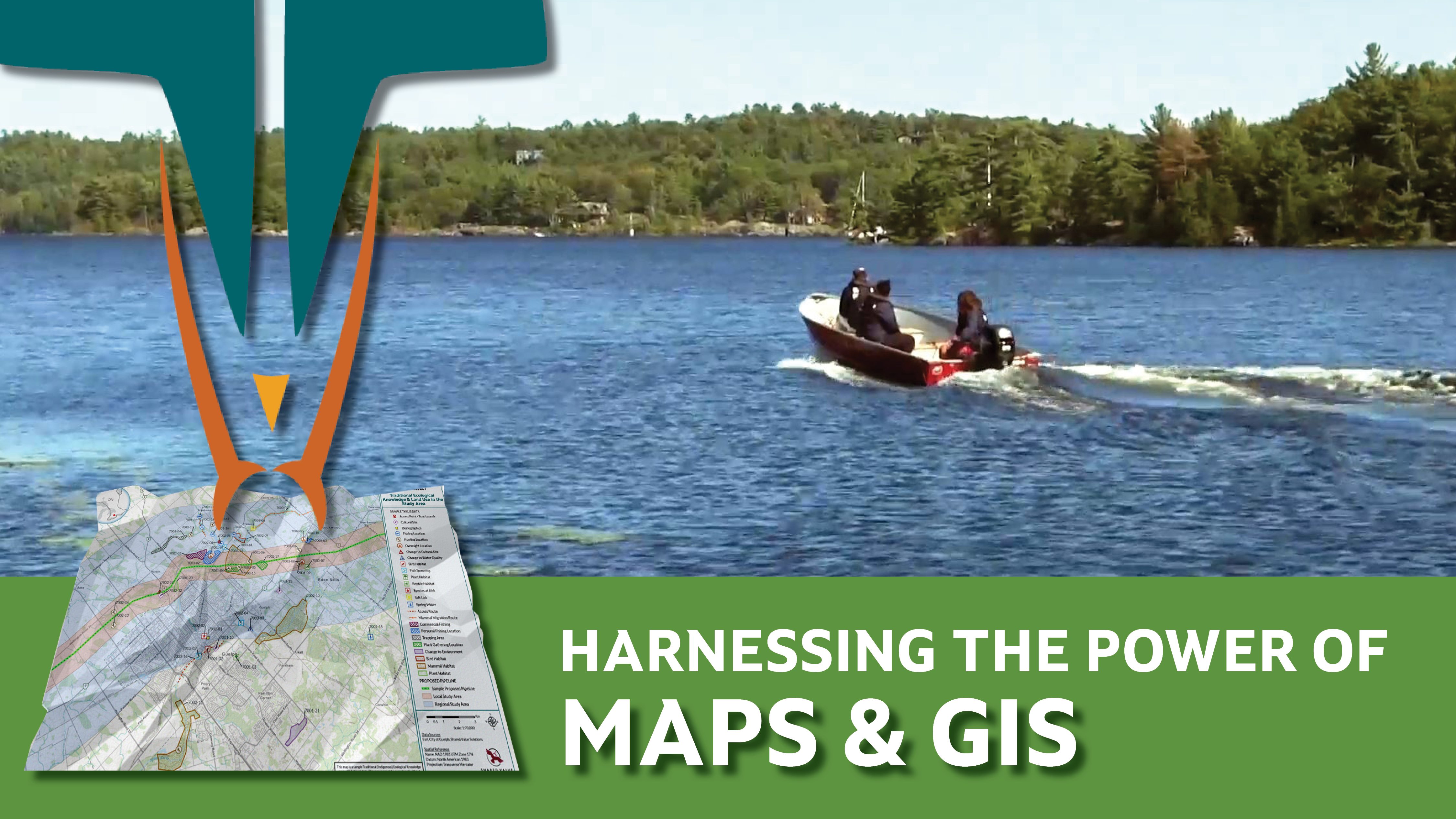
This month we are highlighting one of our many, info packed, free eBooks- Harnessing the Power of Maps. The book explores the power of mapping and GIS in supporting Indigenous Nations to advance their Rights and interests. Download the whole eBook...
Read More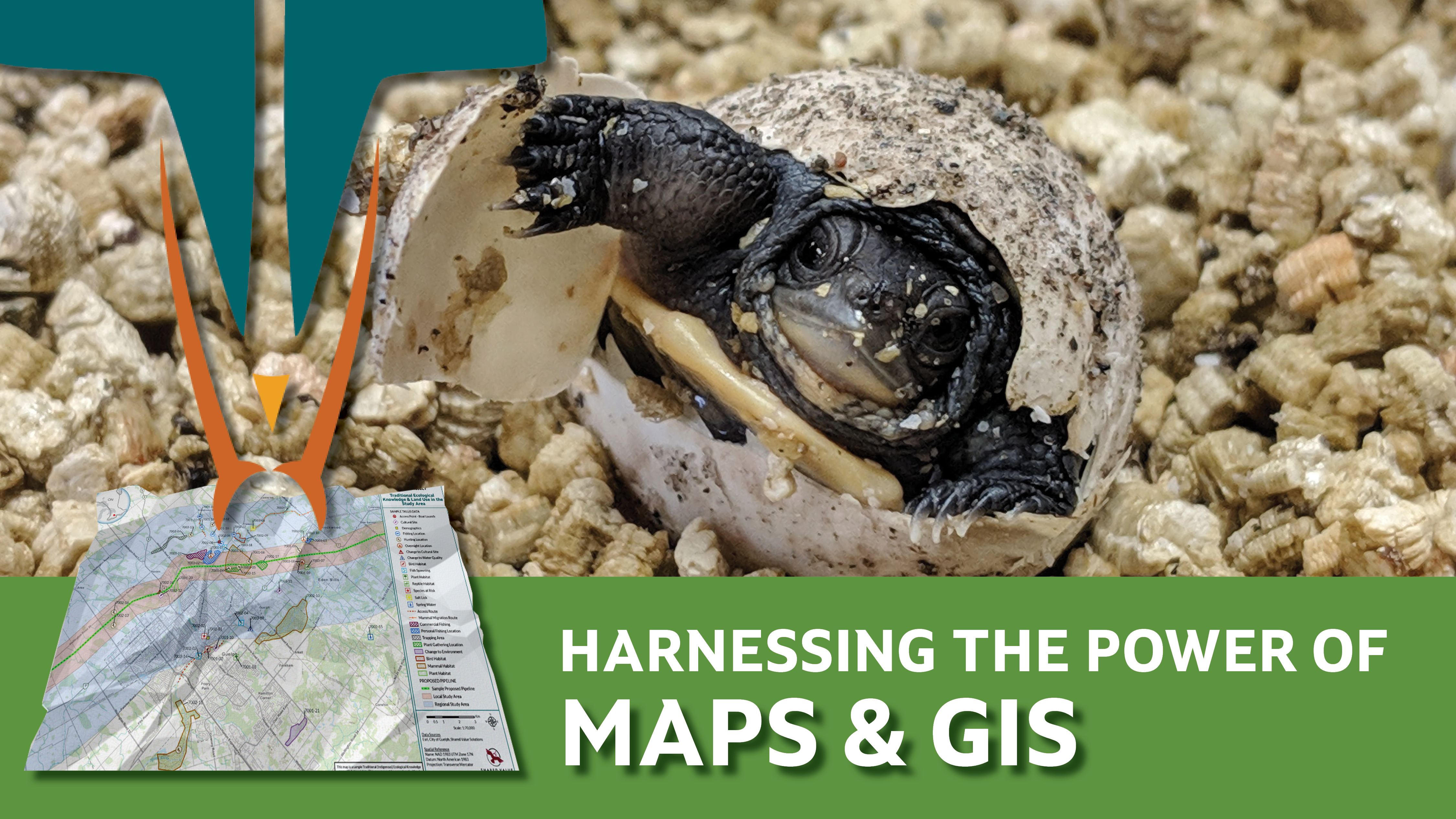
This month we're highlighting one of our many free eBooks- Harnessing the Power of Maps- a resource that explores the power of mapping and GIS in supporting Indigenous Nations to advance their rights and interests.
Read the story below to learn...
Read More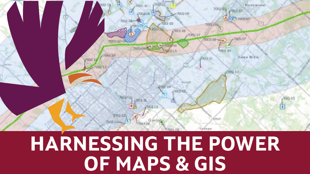
When someone is talking about GIS, does it sometimes feel like you don't completely understand what is going on? If so, you aren't alone! In this blog, we've relied on our own resident GIS experts, Lynn Wardle and Marnie Benson, to answer our...
Read More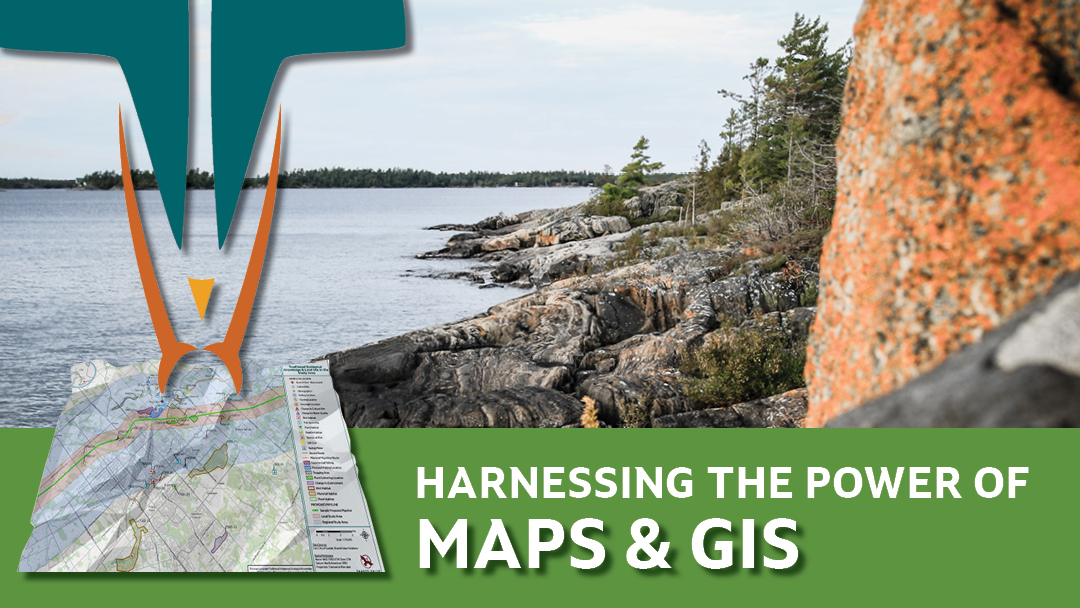
Welcome to the final post in our blog series that explores the power of mapping and GIS in supporting Indigenous Nations to advance their rights and interests. Over the series, we’ve explored everything from custom collector apps for land users to...
Read More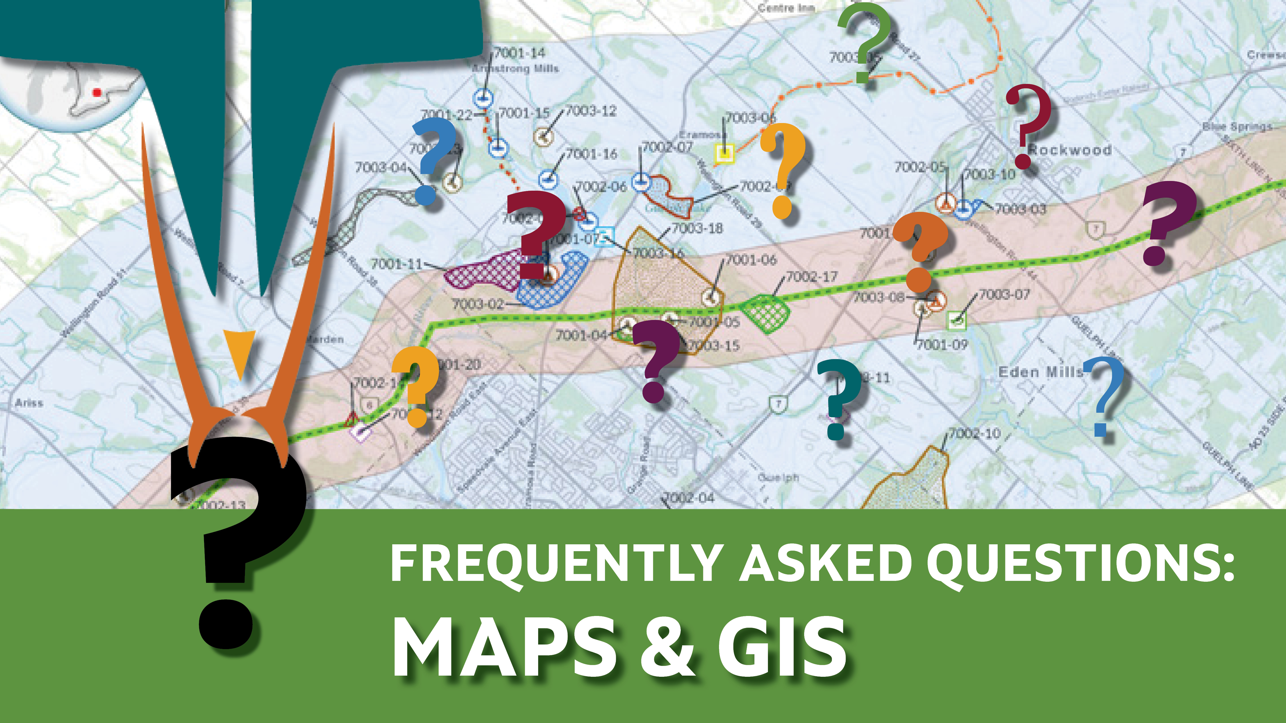
Welcome to the third post in our blog series that explores the power of mapping and GIS in supporting Indigenous Nations to advance their rights and interests.
When someone is talking about GIS, does it sometimes feel like you don't completely...
Read More
Welcome to the second post in our blog series that explores the power of mapping and GIS in supporting Indigenous Nations to advance their rights and interests.
In this story, we explore how Wasauksing First Nation used GIS and a...
Read More
Welcome to our newest blog series that explores the power of mapping and GIS in supporting Indigenous Nations to advance their rights and interests. GIS stands for Geographic Information Systems. Many of us know the term, but if you are fuzzy on...
Read More
Welcome to Shared Value Solutions' biweekly funding and news digest. We hope it finds you well.
This week we share some resources about Treaty Recognition Week. We also present the latest post in our popular Indigenous Knowledge Matters blog...
Read More
Welcome to Shared Value Solutions' biweekly funding and news digest. We hope it finds you well.
In this issue we begin by recognizing the latest manifestation of systemic racism that is currently playing out in Nova Scotia. We share the...
Read More